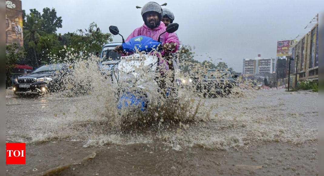
NEW DELHI: The southwest monsoon is expected to advance across sub-Himalayan West Bengal and parts of Gangetic West Bengal within the next four to five days, according to the Indian Meteorological Department’s (IMD) announcement on Friday. The northern districts of the state, already experiencing continuous heavy rainfall, are likely to continue receiving heavy to very heavy rain at isolated places.
While heavy rain is causing disruptions in some sub-Himalayan areas, several districts in south Bengal are forecast to face heatwave and severe heatwave conditions over the coming days, according to the weather office.
Additionally, the Met Department also warned of potential landslides in the hilly areas of Darjeeling and Kalimpong districts.
Rivers flowing through the sub-Himalayan districts, including Teesta, Jaldhaka, Sankosh, and Torsa, are likely to see rising water levels.
The department recommended regulating traffic and avoiding movement in landslide-prone areas in the hills.
In the last 24 hours until 8:30 am on Friday, Rongo in Kalimpong district recorded the highest rainfall in West Bengal at 150 mm, followed by Alipurduar (140 mm), Jhalong (140 mm), Dhupguri (120 mm), Sevoke (100 mm), Pundibari (100 mm), and Champasari (80 mm).
The weather forecast predicts heavy to very heavy rain in Cooch Behar, Jalpaiguri, Alipurduar, Darjeeling, and Kalimpong districts over the next few days, with extremely heavy rainfall expected in Alipurduar district until Saturday.


